Nantymaen farm and Cwm Camddwr in Ceredigion
Introduction
The photograph on this page of Nantymaen farm and Cwm Camddwr in Ceredigion by Roger D Kidd as part of the Geograph project.
The Geograph project started in 2005 with the aim of publishing, organising and preserving representative images for every square kilometre of Great Britain, Ireland and the Isle of Man.

There are currently over 7.5m images from over 14,400 individuals and you can help contribute to the project by visiting https://www.geograph.org.uk
Nantymaen farm and Cwm Camddwr in Ceredigion
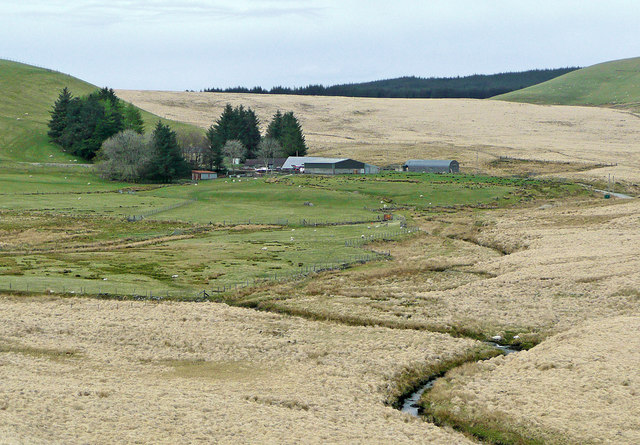
Image: © Roger D Kidd Taken: 28 Apr 2010
This is a telephoto assisted image taken looking north towards Nantymaen from the Tregaron to Abergwesyn former drove road. In the foreground is the Afon Camddwr, which is joined by the greener enclosed grazed area by Nant y Maen. On the skyline, the edge of the Tywi Forest looms.
Images are licensed for reuse under creativecommons.org/licenses/by-sa/2.0
Image Location
Latitude
52.208512
Longitude
-3.813938