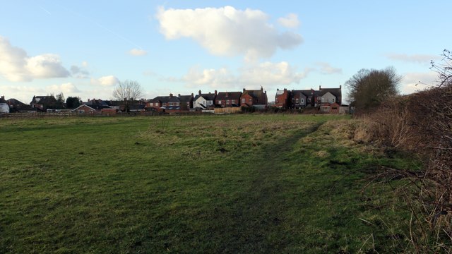
Public footpath
Introduction
The photograph on this page of Public footpath by Alan Walker as part of the Geograph project.
The Geograph project started in 2005 with the aim of publishing, organising and preserving representative images for every square kilometre of Great Britain, Ireland and the Isle of Man.
There are currently over 7.5m images from over 14,400 individuals and you can help contribute to the project by visiting https://www.geograph.org.uk

Image: © Alan Walker Taken: 26 Jan 2018
This public footpath links Redbarn Lane (some 130m behind the viewpoint) to Littlemoor Lane near its junction with Newtonwood Lane (some 170m ahead). The small row of terraced houses toward the right of the photograph do not appear on OS maps until one published in 1921 (Surveyed 1913 to 1914). The dwellings to the left are later constructions. For a photograph taken some 100m ahead and looking back toward this point, click here:- Image For a photograph taken some 110m behind the viewpoint, click here Image

