2007 : Lower Barn
Introduction
The photograph on this page of 2007 : Lower Barn by Maurice Pullin as part of the Geograph project.
The Geograph project started in 2005 with the aim of publishing, organising and preserving representative images for every square kilometre of Great Britain, Ireland and the Isle of Man.

There are currently over 7.5m images from over 14,400 individuals and you can help contribute to the project by visiting https://www.geograph.org.uk
2007 : Lower Barn
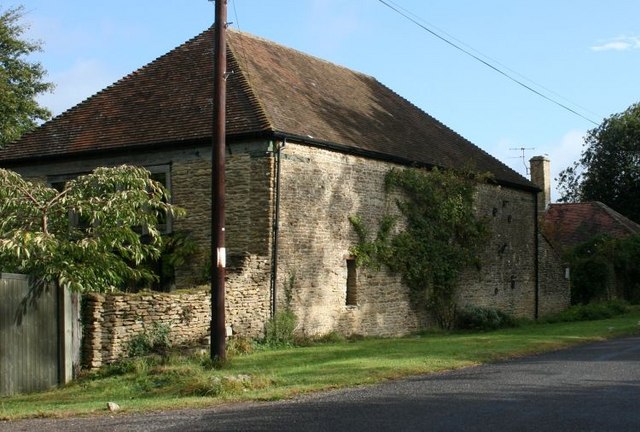
Image: © Maurice Pullin Taken: 25 Sep 2007
On the byroad between Redlynch and Shepton Montague, this was once one of a group of barns now partly converted to dwellings.
Images are licensed for reuse under creativecommons.org/licenses/by-sa/2.0
Image Location


Leaflet Map data © OpenStreetMap
Latitude
51.094472
Longitude
-2.444623