Former School and Sunday School, Lowtown
Introduction
The photograph on this page of Former School and Sunday School, Lowtown by Roger Templeman as part of the Geograph project.
The Geograph project started in 2005 with the aim of publishing, organising and preserving representative images for every square kilometre of Great Britain, Ireland and the Isle of Man.

There are currently over 7.5m images from over 14,400 individuals and you can help contribute to the project by visiting https://www.geograph.org.uk
Former School and Sunday School, Lowtown
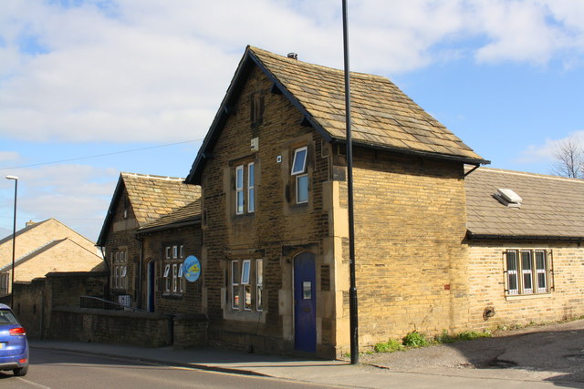
Image: © Roger Templeman Taken: 7 Apr 2017
The School now houses Kindercare Nursery School and the Sunday School is a private house. There is an OS benchmark Image about 3 feet from the near corner of the house, right of the lamppost
Images are licensed for reuse under creativecommons.org/licenses/by-sa/2.0
Image Location
Latitude
53.797494
Longitude
-1.656251