Cherry Hinton: Upperhall Court
Introduction
The photograph on this page of Cherry Hinton: Upperhall Court by John Sutton as part of the Geograph project.
The Geograph project started in 2005 with the aim of publishing, organising and preserving representative images for every square kilometre of Great Britain, Ireland and the Isle of Man.

There are currently over 7.5m images from over 14,400 individuals and you can help contribute to the project by visiting https://www.geograph.org.uk
Cherry Hinton: Upperhall Court
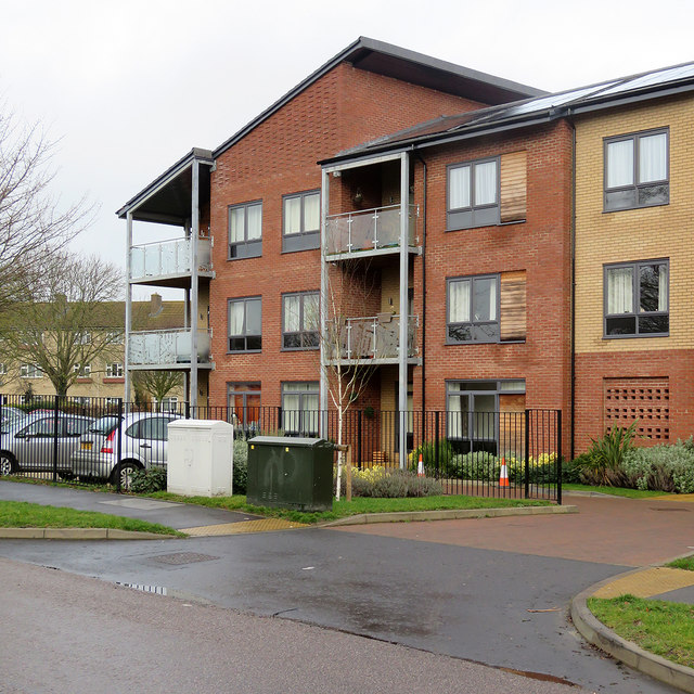
Image: © John Sutton Taken: 23 Jan 2018
The balconies of these flats on Colville Road have glass panels etched with sections of a large-scale map of Cherry Hinton. Image] shows some of them a little more closely.
Images are licensed for reuse under creativecommons.org/licenses/by-sa/2.0
Image Location
Latitude
52.187197
Longitude
0.176262