Ardochbeg: ruins of an ancillary building
Introduction
The photograph on this page of Ardochbeg: ruins of an ancillary building by Lairich Rig as part of the Geograph project.
The Geograph project started in 2005 with the aim of publishing, organising and preserving representative images for every square kilometre of Great Britain, Ireland and the Isle of Man.

There are currently over 7.5m images from over 14,400 individuals and you can help contribute to the project by visiting https://www.geograph.org.uk
Ardochbeg: ruins of an ancillary building
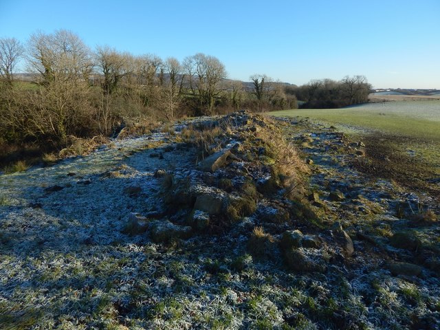
Image: © Lairich Rig Taken: 8 Jan 2018
The ruined house at Ardochbeg is shown in Image and Image (click on the end-note title for related pictures). However, there was a longer, narrow building a short distance to the east of the house. The present photograph shows the remains of that building, whose long axis was, as the disposition of the rubble suggests, oriented along the line of sight; it was also internally divided. This long building had already been demolished by the start of the First World War, while the house itself, just to the west, remained standing and was occupied up until the Second World War.
Images are licensed for reuse under creativecommons.org/licenses/by-sa/2.0
Image Location
Latitude
55.958636
Longitude
-4.604085