Grade II listed Pytts Barn, Fulbrook
Introduction
The photograph on this page of Grade II listed Pytts Barn, Fulbrook by Jaggery as part of the Geograph project.
The Geograph project started in 2005 with the aim of publishing, organising and preserving representative images for every square kilometre of Great Britain, Ireland and the Isle of Man.

There are currently over 7.5m images from over 14,400 individuals and you can help contribute to the project by visiting https://www.geograph.org.uk
Grade II listed Pytts Barn, Fulbrook
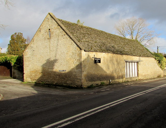
Image: © Jaggery Taken: 16 Jan 2018
Probably dating from the early 17th century, Pytts Barn is on the corner of Church Lane and the A361, south of Pytts House. https://www.geograph.org.uk/photo/5659264
Images are licensed for reuse under creativecommons.org/licenses/by-sa/2.0
Image Location
Latitude
51.814586
Longitude
-1.625981