Bridlepath to Trefacwn
Introduction
The photograph on this page of Bridlepath to Trefacwn by Simon Mortimer as part of the Geograph project.
The Geograph project started in 2005 with the aim of publishing, organising and preserving representative images for every square kilometre of Great Britain, Ireland and the Isle of Man.

There are currently over 7.5m images from over 14,400 individuals and you can help contribute to the project by visiting https://www.geograph.org.uk
Bridlepath to Trefacwn
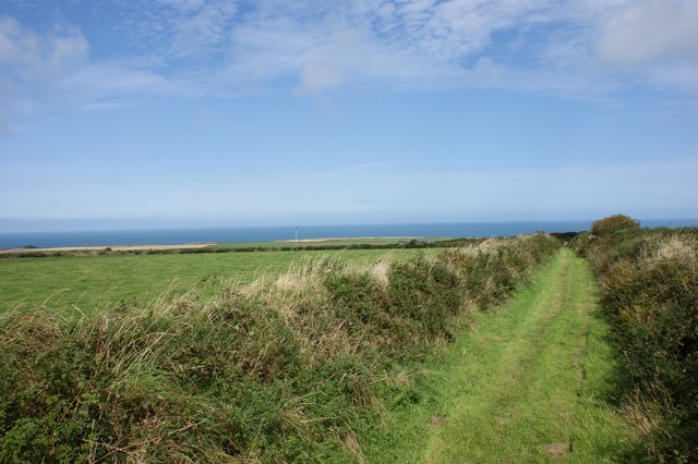
Image: © Simon Mortimer Taken: 23 Aug 2017
Looking north from the road between Croes-goch and Abereiddi, this short bridlepath drops down to Trefacwn and the road to Llanrhian.
Images are licensed for reuse under creativecommons.org/licenses/by-sa/2.0
Image Location
Latitude
51.929556
Longitude
-5.179796