Milestone detail, Begelly
Introduction
The photograph on this page of Milestone detail, Begelly by Jaggery as part of the Geograph project.
The Geograph project started in 2005 with the aim of publishing, organising and preserving representative images for every square kilometre of Great Britain, Ireland and the Isle of Man.

There are currently over 7.5m images from over 14,400 individuals and you can help contribute to the project by visiting https://www.geograph.org.uk
Milestone detail, Begelly
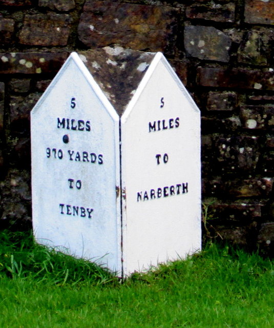
Image: © Jaggery Taken: 19 Jan 2018
Located alongside the A478 https://www.geograph.org.uk/photo/5657065 5 miles from Narberth and 5 miles 970 yards from Tenby. The reason for the great precision of the Tenby distance is unclear to this observer, and great precision is not the same as great accuracy. To which location in Tenby does this refer?
Images are licensed for reuse under creativecommons.org/licenses/by-sa/2.0
Image Location


Leaflet Map data © OpenStreetMap
Latitude
51.738712
Longitude
-4.728879