Southwards on Sutton Oak Road - Sutton Coldfield, West Midlands
Introduction
The photograph on this page of Southwards on Sutton Oak Road - Sutton Coldfield, West Midlands by Martin Richard Phelan as part of the Geograph project.
The Geograph project started in 2005 with the aim of publishing, organising and preserving representative images for every square kilometre of Great Britain, Ireland and the Isle of Man.

There are currently over 7.5m images from over 14,400 individuals and you can help contribute to the project by visiting https://www.geograph.org.uk
Southwards on Sutton Oak Road - Sutton Coldfield, West Midlands
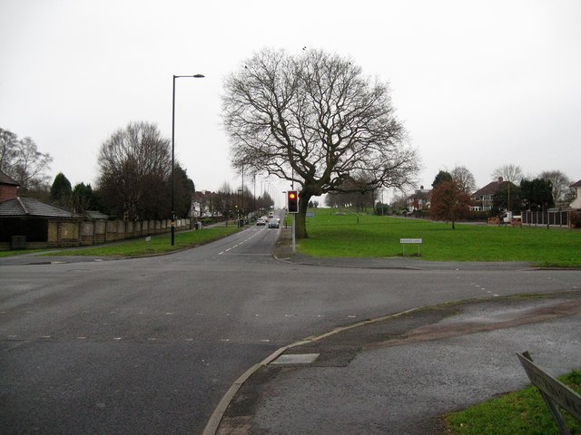
Image: © Martin Richard Phelan Taken: 8 Jan 2018
Looking southwards on the B4138 Sutton Oak Road at its junction with Bakers Lane, Streetly. The B4138 runs from Hill Hook Image through Streetly alongside the western boundary of Sutton Park as Thornhill Road. It then peels off from the A452 Chester Road to become Sutton Oak Road, then Kingstanding Road. From Kingstanding Circle Image it continues southwards to its junction with the A453 on this stretch as College Road. Time taken 1.50 pm GMT (Greenwich Mean Time). Image
Images are licensed for reuse under creativecommons.org/licenses/by-sa/2.0
Image Location
Latitude
52.563841
Longitude
-1.880317