Path, Hooke Park
Introduction
The photograph on this page of Path, Hooke Park by Richard Webb as part of the Geograph project.
The Geograph project started in 2005 with the aim of publishing, organising and preserving representative images for every square kilometre of Great Britain, Ireland and the Isle of Man.

There are currently over 7.5m images from over 14,400 individuals and you can help contribute to the project by visiting https://www.geograph.org.uk
Path, Hooke Park
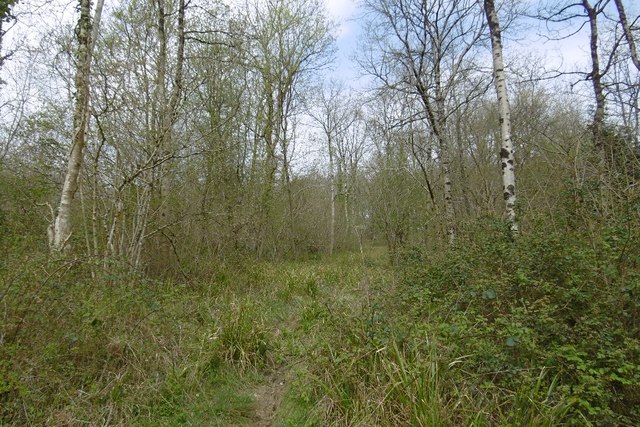
Image: © Richard Webb Taken: 11 Apr 2017
Brambly wood, but the path has been kept open. Most of the woodland is on a big landslip area.
Images are licensed for reuse under creativecommons.org/licenses/by-sa/2.0
Image Location


Leaflet Map data © OpenStreetMap
Latitude
50.789772
Longitude
-2.676801