Epsom Lane North
Introduction
The photograph on this page of Epsom Lane North by Stefan Czapski as part of the Geograph project.
The Geograph project started in 2005 with the aim of publishing, organising and preserving representative images for every square kilometre of Great Britain, Ireland and the Isle of Man.

There are currently over 7.5m images from over 14,400 individuals and you can help contribute to the project by visiting https://www.geograph.org.uk
Epsom Lane North
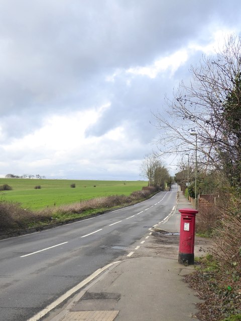
Image: © Stefan Czapski Taken: 18 Jan 2018
View north from a point close to Sparrowhawk's scrap-metal yard. To the west of the road is farmland on Walton Downs. The royal cipher ('GR') on the pillar-box is that of George V - a fair clue to the date of the first residential development around here. The South Eastern & Chatham Railway opened its extension to Tadworth and Tattenham Corner in 1901: https://www.geograph.org.uk/photo/5608306 The railway runs parallel to Epsom Lane North, a short distance to the east. No doubt the narrow strip of farmland stranded between railway and road was soon bought up by speculative builders.
Images are licensed for reuse under creativecommons.org/licenses/by-sa/2.0
Image Location
Latitude
51.302342
Longitude
-0.242297