Castle Hill: view up the western side
Introduction
The photograph on this page of Castle Hill: view up the western side by Lairich Rig as part of the Geograph project.
The Geograph project started in 2005 with the aim of publishing, organising and preserving representative images for every square kilometre of Great Britain, Ireland and the Isle of Man.

There are currently over 7.5m images from over 14,400 individuals and you can help contribute to the project by visiting https://www.geograph.org.uk
Castle Hill: view up the western side
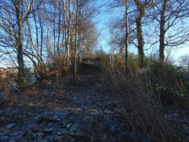
Image: © Lairich Rig Taken: 8 Jan 2018
See Image for the opposite view, down the slope. Someone pointed out to me in a conversation about half an hour later that there is a causeway-like path down this side (which is what my picture was intended to capture). See the comments at https://www.geograph.org.uk/article/Mains-of-Cardross-and-Castle-Hill#castle-hill for further discussion; in brief, there is no physical evidence that there was ever a building on this knoll, but the presence of what looks like a path on this side had been noted about a century ago.
Images are licensed for reuse under creativecommons.org/licenses/by-sa/2.0
Image Location
Latitude
55.948731
Longitude
-4.587882