Overtoun House Circular Path
Introduction
The photograph on this page of Overtoun House Circular Path by Lairich Rig as part of the Geograph project.
The Geograph project started in 2005 with the aim of publishing, organising and preserving representative images for every square kilometre of Great Britain, Ireland and the Isle of Man.

There are currently over 7.5m images from over 14,400 individuals and you can help contribute to the project by visiting https://www.geograph.org.uk
Overtoun House Circular Path
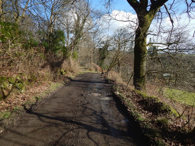
Image: © Lairich Rig Taken: 1 Mar 2017
This is the opposite view to Image The path is part of the old road mentioned in the end-note. The woods to the left (north) of the path are marked on the map. Large-scale mapping shows the names Barwood Hill and Dumbar there. A nearby house is called Barnhill: Image I believe it was, at a very early period, called Barhill, thus relating it, by the "bar" element, to the other names just mentioned; however, I cannot find a reference to confirm this at the moment. At any rate, it appears as "Barnhill" (the current spelling) on the Blaeu map of the Lennox, which is based on surveys made c.1580s—90s.
Images are licensed for reuse under creativecommons.org/licenses/by-sa/2.0
Image Location
Latitude
55.946467
Longitude
-4.528146