Overtoun House Circular Path
Introduction
The photograph on this page of Overtoun House Circular Path by Lairich Rig as part of the Geograph project.
The Geograph project started in 2005 with the aim of publishing, organising and preserving representative images for every square kilometre of Great Britain, Ireland and the Isle of Man.

There are currently over 7.5m images from over 14,400 individuals and you can help contribute to the project by visiting https://www.geograph.org.uk
Overtoun House Circular Path
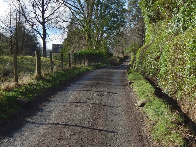
Image: © Lairich Rig Taken: 1 Mar 2017
The path passes Carnoch House here. It is part of the old road to Barnhill that is described in the end-note.
Images are licensed for reuse under creativecommons.org/licenses/by-sa/2.0
Image Location
Latitude
55.946679
Longitude
-4.526559