Manor Farm permissibles
Introduction
The photograph on this page of Manor Farm permissibles by Neil Owen as part of the Geograph project.
The Geograph project started in 2005 with the aim of publishing, organising and preserving representative images for every square kilometre of Great Britain, Ireland and the Isle of Man.

There are currently over 7.5m images from over 14,400 individuals and you can help contribute to the project by visiting https://www.geograph.org.uk
Manor Farm permissibles
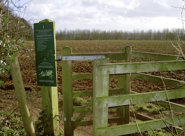
Image: © Neil Owen Taken: 17 Jan 2018
The old estate has largely been given over to agriculture, although some of the land is now planted with trees and some permissible paths are offered to walkers.
Images are licensed for reuse under creativecommons.org/licenses/by-sa/2.0
Image Location
Latitude
51.351964
Longitude
-2.378329