Scottish Crannog Centre
Introduction
The photograph on this page of Scottish Crannog Centre by John Phillips as part of the Geograph project.
The Geograph project started in 2005 with the aim of publishing, organising and preserving representative images for every square kilometre of Great Britain, Ireland and the Isle of Man.

There are currently over 7.5m images from over 14,400 individuals and you can help contribute to the project by visiting https://www.geograph.org.uk
Scottish Crannog Centre
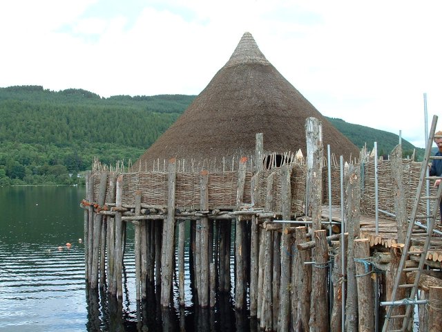
Image: © John Phillips Taken: 21 Jun 2004
Loch Tay - Scottish Crannog Centre - Reconstruction of Iron Age Lake Dwelling
Images are licensed for reuse under creativecommons.org/licenses/by-sa/2.0
Image Location


Leaflet Map data © OpenStreetMap
Latitude
56.579774
Longitude
-4.003468