Bank Top Way, off Ivy Road
Introduction
The photograph on this page of Bank Top Way, off Ivy Road by Stephen Craven as part of the Geograph project.
The Geograph project started in 2005 with the aim of publishing, organising and preserving representative images for every square kilometre of Great Britain, Ireland and the Isle of Man.

There are currently over 7.5m images from over 14,400 individuals and you can help contribute to the project by visiting https://www.geograph.org.uk
Bank Top Way, off Ivy Road
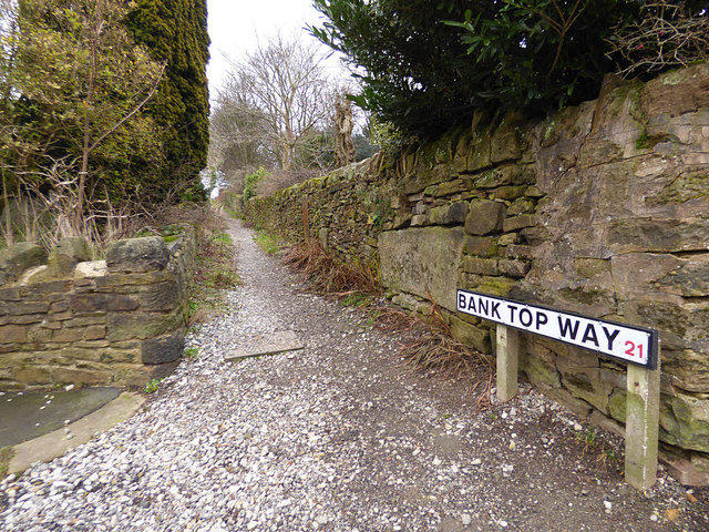
Image: © Stephen Craven Taken: 13 Jan 2018
This footpath is a continuation of the historic path up the hill from Keighley - see Image for the bottom end. It leads to Royd Field farm and on towards Bingley.
Images are licensed for reuse under creativecommons.org/licenses/by-sa/2.0
Image Location
Latitude
53.863635
Longitude
-1.887594