Footpath to Thwaites Brow (6)
Introduction
The photograph on this page of Footpath to Thwaites Brow (6) by Stephen Craven as part of the Geograph project.
The Geograph project started in 2005 with the aim of publishing, organising and preserving representative images for every square kilometre of Great Britain, Ireland and the Isle of Man.

There are currently over 7.5m images from over 14,400 individuals and you can help contribute to the project by visiting https://www.geograph.org.uk
Footpath to Thwaites Brow (6)
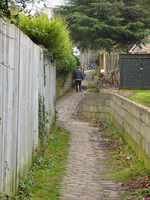
Image: © Stephen Craven Taken: 13 Jan 2018
A splendid example of a stone-setted footpath from the days of the Industrial Revolution. I presume it was for workers to reach the factories in the town of Keighley (and at another time maybe for quarry workers living in the valley bottom to reach the quarries higher up the hill). At the kink in the track just ahead, the footpath splits - even on the 1852 map, showing just how old this route is. Straight on was to the Long Lee coal pits; left to Royd House (a historic farm) and surrounding quarries.
Images are licensed for reuse under creativecommons.org/licenses/by-sa/2.0
Image Location
Latitude
53.863458
Longitude
-1.890636