Seaton Burn, Seghill
Introduction
The photograph on this page of Seaton Burn, Seghill by Graham Robson as part of the Geograph project.
The Geograph project started in 2005 with the aim of publishing, organising and preserving representative images for every square kilometre of Great Britain, Ireland and the Isle of Man.

There are currently over 7.5m images from over 14,400 individuals and you can help contribute to the project by visiting https://www.geograph.org.uk
Seaton Burn, Seghill
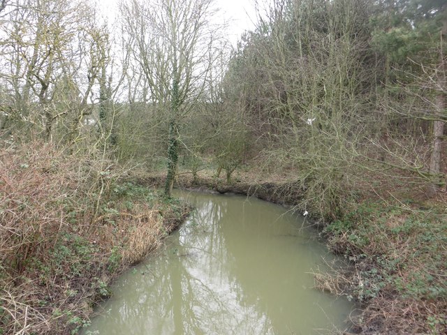
Image: © Graham Robson Taken: 13 Jan 2018
The large stream flows through farmland to the north of the village. Seen here from the lane to Middle Farm which crosses the watercourse.
Images are licensed for reuse under creativecommons.org/licenses/by-sa/2.0
Image Location
Latitude
55.068374
Longitude
-1.552125