Footpath, Seghill
Introduction
The photograph on this page of Footpath, Seghill by Graham Robson as part of the Geograph project.
The Geograph project started in 2005 with the aim of publishing, organising and preserving representative images for every square kilometre of Great Britain, Ireland and the Isle of Man.

There are currently over 7.5m images from over 14,400 individuals and you can help contribute to the project by visiting https://www.geograph.org.uk
Footpath, Seghill
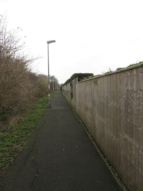
Image: © Graham Robson Taken: 13 Jan 2018
A footpath between housing estates in Seghill. The path is on an embankment above the level of the surrounding properties on the alignment of an old railway line which connected the nearby mineral railway to the East Coast Mainline.
Images are licensed for reuse under creativecommons.org/licenses/by-sa/2.0
Image Location
Latitude
55.06449
Longitude
-1.546688