Llwybr Pont Rhyd-y-maerdy / Pont Rhyd-y-maerdy path
Introduction
The photograph on this page of Llwybr Pont Rhyd-y-maerdy / Pont Rhyd-y-maerdy path by Alan Richards as part of the Geograph project.
The Geograph project started in 2005 with the aim of publishing, organising and preserving representative images for every square kilometre of Great Britain, Ireland and the Isle of Man.

There are currently over 7.5m images from over 14,400 individuals and you can help contribute to the project by visiting https://www.geograph.org.uk
Llwybr Pont Rhyd-y-maerdy / Pont Rhyd-y-maerdy path
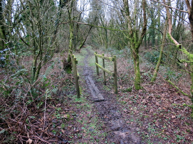
Image: © Alan Richards Taken: 16 Jan 2018
Llwybr cyhoeddus yn mynd i gyfeiriad Pont Rhyd-y-maerdy. A public footpath heading in the direction of Pont Rhyd-y-maerdy (trans. bridge of the steward's house or dairy).
Images are licensed for reuse under creativecommons.org/licenses/by-sa/2.0
Image Location
Latitude
51.80638
Longitude
-4.106278