2007 : Hinton Charterhouse
Introduction
The photograph on this page of 2007 : Hinton Charterhouse by Maurice Pullin as part of the Geograph project.
The Geograph project started in 2005 with the aim of publishing, organising and preserving representative images for every square kilometre of Great Britain, Ireland and the Isle of Man.

There are currently over 7.5m images from over 14,400 individuals and you can help contribute to the project by visiting https://www.geograph.org.uk
2007 : Hinton Charterhouse
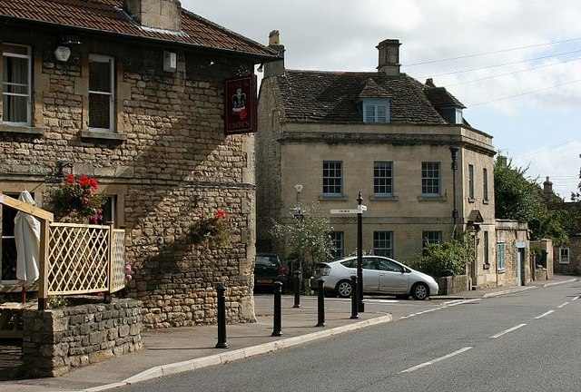
Image: © Maurice Pullin Taken: 24 Sep 2007
A road junction on the main road through Hinton Charterhouse. The side road leads to The Green and the Parish Church then on to Iford. Opposite here is a bridle path which is not signposted but is far more interesting. For more on Hinton Charterhouse see:http://www.freshford.com/hinton_home.htm
Images are licensed for reuse under creativecommons.org/licenses/by-sa/2.0
Image Location
Latitude
51.322263
Longitude
-2.328288