Sowe Valley path approaching Sowe Bridge, Walsgrave, east Coventry
Introduction
The photograph on this page of Sowe Valley path approaching Sowe Bridge, Walsgrave, east Coventry by Robin Stott as part of the Geograph project.
The Geograph project started in 2005 with the aim of publishing, organising and preserving representative images for every square kilometre of Great Britain, Ireland and the Isle of Man.

There are currently over 7.5m images from over 14,400 individuals and you can help contribute to the project by visiting https://www.geograph.org.uk
Sowe Valley path approaching Sowe Bridge, Walsgrave, east Coventry
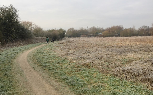
Image: © Robin Stott Taken: 22 Jan 2017
Hoar frost glazes the floodmeadow on a gloomy Sunday morning in January. The river flows among the vegetation on the left; the view is downstream. There is a cluster of phone masts and cabinets opposite the bus stop on Clifford Bridge Road, centre: Image Notice that the road is on an embankment or causeway, presumably out of reach of floods.
Images are licensed for reuse under creativecommons.org/licenses/by-sa/2.0
Image Location
Latitude
52.412003
Longitude
-1.441887