Driveway to Llanungar Fach farm
Introduction
The photograph on this page of Driveway to Llanungar Fach farm by Simon Mortimer as part of the Geograph project.
The Geograph project started in 2005 with the aim of publishing, organising and preserving representative images for every square kilometre of Great Britain, Ireland and the Isle of Man.

There are currently over 7.5m images from over 14,400 individuals and you can help contribute to the project by visiting https://www.geograph.org.uk
Driveway to Llanungar Fach farm
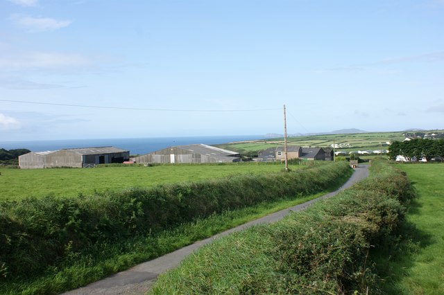
Image: © Simon Mortimer Taken: 23 Aug 2017
Looking west along the driveway from the road between Upper Solva and Whitchurch.
Images are licensed for reuse under creativecommons.org/licenses/by-sa/2.0
Image Location
Latitude
51.879091
Longitude
-5.203261