Tonyrefail RFC clubhouse, High Street, Tonyrefail
Introduction
The photograph on this page of Tonyrefail RFC clubhouse, High Street, Tonyrefail by Jaggery as part of the Geograph project.
The Geograph project started in 2005 with the aim of publishing, organising and preserving representative images for every square kilometre of Great Britain, Ireland and the Isle of Man.

There are currently over 7.5m images from over 14,400 individuals and you can help contribute to the project by visiting https://www.geograph.org.uk
Tonyrefail RFC clubhouse, High Street, Tonyrefail
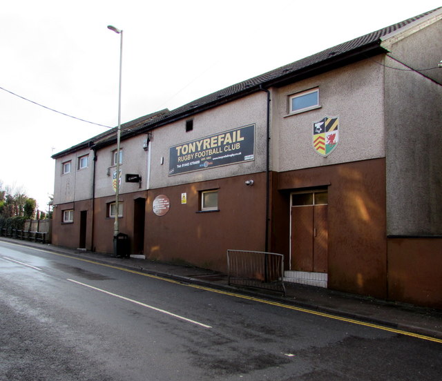
Image: © Jaggery Taken: 10 Jan 2018
The large name sign shows that Tonyrefail Rugby Football Club was established in 1893. The depiction of an anvil on the club's badge refers to the literal meaning of the Welsh Tonyrefail - smithy or forge on a grassy plot of land.
Images are licensed for reuse under creativecommons.org/licenses/by-sa/2.0
Image Location
Latitude
51.583791
Longitude
-3.427084