Path Towards Shakespeare Drive
Introduction
The photograph on this page of Path Towards Shakespeare Drive by Paul Collins as part of the Geograph project.
The Geograph project started in 2005 with the aim of publishing, organising and preserving representative images for every square kilometre of Great Britain, Ireland and the Isle of Man.

There are currently over 7.5m images from over 14,400 individuals and you can help contribute to the project by visiting https://www.geograph.org.uk
Path Towards Shakespeare Drive
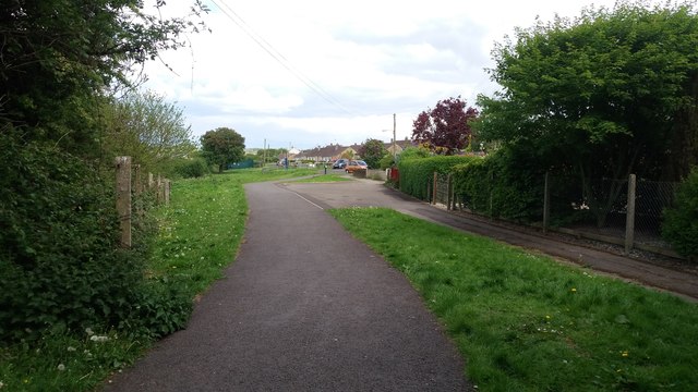
Image: © Paul Collins Taken: 1 May 2017
This path and cyclepath link residential areas to the town centre. The small play area behind Shakespeare Drive is visible.
Images are licensed for reuse under creativecommons.org/licenses/by-sa/2.0
Image Location
Latitude
51.286798
Longitude
-2.470712