Pasture by Young Plantation
Introduction
The photograph on this page of Pasture by Young Plantation by Derek Harper as part of the Geograph project.
The Geograph project started in 2005 with the aim of publishing, organising and preserving representative images for every square kilometre of Great Britain, Ireland and the Isle of Man.

There are currently over 7.5m images from over 14,400 individuals and you can help contribute to the project by visiting https://www.geograph.org.uk
Pasture by Young Plantation
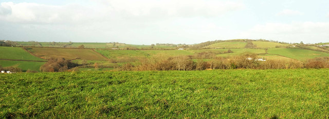
Image: © Derek Harper Taken: 7 Dec 2017
Looking right from where Image] was taken, with a minute bit of overlap. Beyond trees along the fringe of Young Plantation is the Lilly Brook valley. Fairly clear beyond is the line of the ridge road between Tedburn St Mary and Whitestone.
Images are licensed for reuse under creativecommons.org/licenses/by-sa/2.0
Image Location
Latitude
50.722154
Longitude
-3.655754