View from near South Lendon
Introduction
The photograph on this page of View from near South Lendon by Derek Harper as part of the Geograph project.
The Geograph project started in 2005 with the aim of publishing, organising and preserving representative images for every square kilometre of Great Britain, Ireland and the Isle of Man.

There are currently over 7.5m images from over 14,400 individuals and you can help contribute to the project by visiting https://www.geograph.org.uk
View from near South Lendon
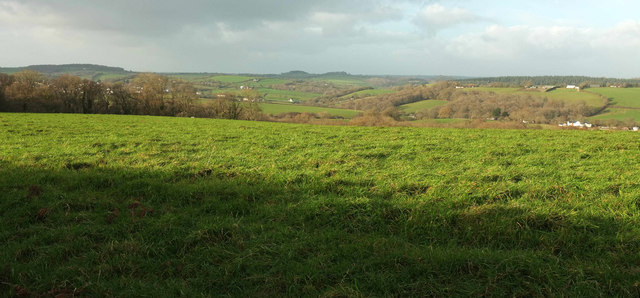
Image: © Derek Harper Taken: 7 Dec 2017
On the other side of the lane from Image], with a view across pastureland to the Lilly Brook valley and a hillside field in Image surrounded by Cleave Plantation and Furzy Cleave.
Images are licensed for reuse under creativecommons.org/licenses/by-sa/2.0
Image Location
Latitude
50.722489
Longitude
-3.657466