Outdated notice in Pentlepoir
Introduction
The photograph on this page of Outdated notice in Pentlepoir by Jaggery as part of the Geograph project.
The Geograph project started in 2005 with the aim of publishing, organising and preserving representative images for every square kilometre of Great Britain, Ireland and the Isle of Man.

There are currently over 7.5m images from over 14,400 individuals and you can help contribute to the project by visiting https://www.geograph.org.uk
Outdated notice in Pentlepoir
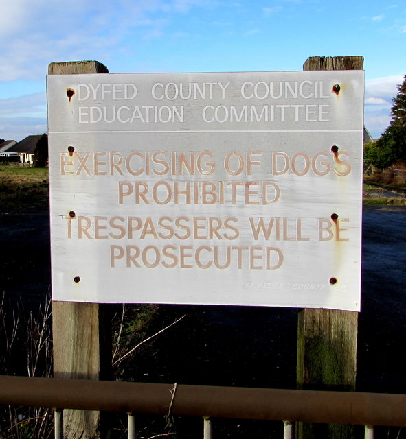
Image: © Jaggery Taken: 6 Jan 2018
Located on the left here. https://www.geograph.org.uk/photo/5647617 The County of Dyfed was created on April 1st 1974 on the amalgamation of the counties of Cardiganshire, Carmarthenshire and Pembrokeshire. It was abolished on April 1st 1996, when the three original counties were reinstated. Cardiganshire was renamed Ceredigion. This location is in Pembrokeshire. The notice applied to Pentlepoir County Primary School grounds https://www.geograph.org.uk/photo/5647610. The school has been demolished.
Images are licensed for reuse under creativecommons.org/licenses/by-sa/2.0
Image Location
Latitude
51.721199
Longitude
-4.727824