Palmer's Allotments
Introduction
The photograph on this page of Palmer's Allotments by John Stephen as part of the Geograph project.
The Geograph project started in 2005 with the aim of publishing, organising and preserving representative images for every square kilometre of Great Britain, Ireland and the Isle of Man.

There are currently over 7.5m images from over 14,400 individuals and you can help contribute to the project by visiting https://www.geograph.org.uk
Palmer's Allotments
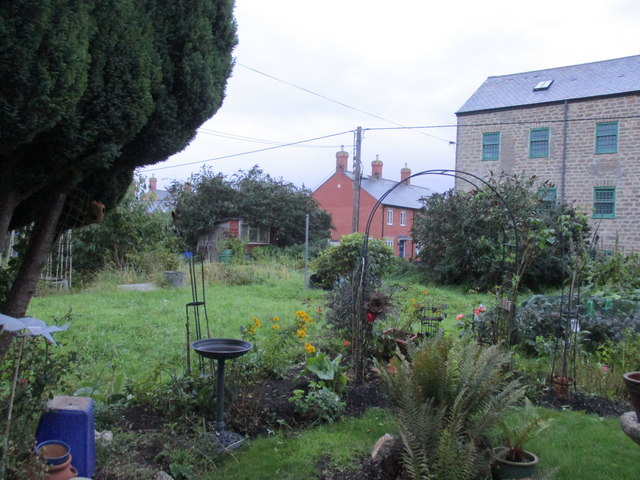
Image: © John Stephen Taken: 16 Sep 2017
Accessed from the bottom of Gundry Lane. The old Priory Mills three storey building is now housing association flats. It was a Youth Hostel in the 70s/80s.
Images are licensed for reuse under creativecommons.org/licenses/by-sa/2.0
Image Location
Latitude
50.731433
Longitude
-2.760551