Bus stop and shelter opposite Hill Rise, Pentlepoir
Introduction
The photograph on this page of Bus stop and shelter opposite Hill Rise, Pentlepoir by Jaggery as part of the Geograph project.
The Geograph project started in 2005 with the aim of publishing, organising and preserving representative images for every square kilometre of Great Britain, Ireland and the Isle of Man.

There are currently over 7.5m images from over 14,400 individuals and you can help contribute to the project by visiting https://www.geograph.org.uk
Bus stop and shelter opposite Hill Rise, Pentlepoir
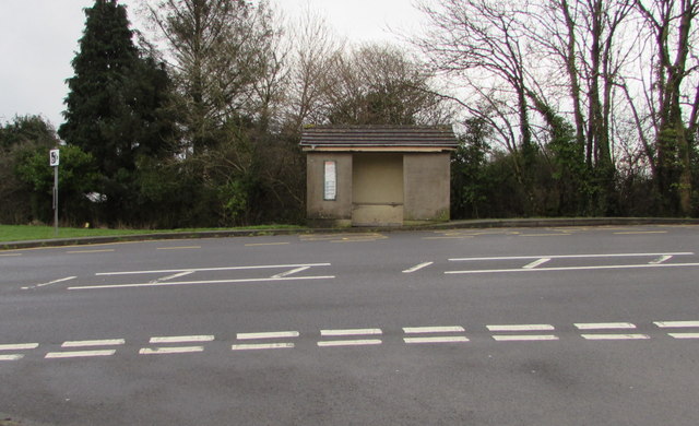
Image: © Jaggery Taken: 6 Jan 2018
This stop on the east side of the A478 is for buses to Tenby.
Images are licensed for reuse under creativecommons.org/licenses/by-sa/2.0
Image Location
Latitude
51.72456
Longitude
-4.718613