Up the A478, Pentlepoir
Introduction
The photograph on this page of Up the A478, Pentlepoir by Jaggery as part of the Geograph project.
The Geograph project started in 2005 with the aim of publishing, organising and preserving representative images for every square kilometre of Great Britain, Ireland and the Isle of Man.

There are currently over 7.5m images from over 14,400 individuals and you can help contribute to the project by visiting https://www.geograph.org.uk
Up the A478, Pentlepoir
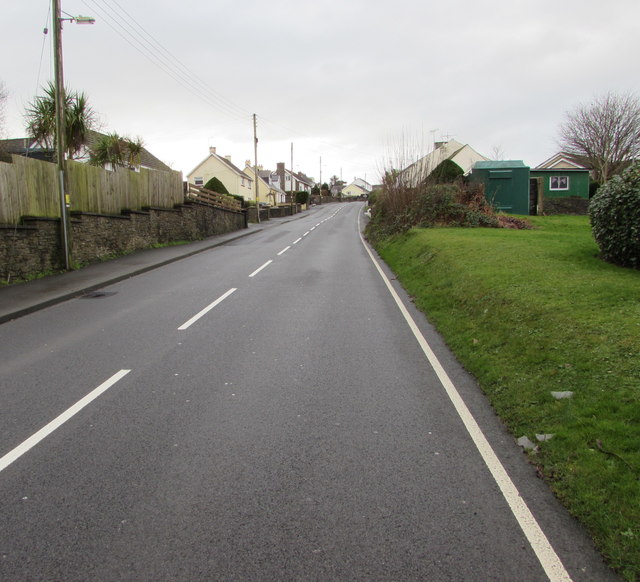
Image: © Jaggery Taken: 6 Jan 2018
The A478 ascends towards the centre of the village. The grassy bank is at the edge of Hill Rise.
Images are licensed for reuse under creativecommons.org/licenses/by-sa/2.0
Image Location
Latitude
51.723532
Longitude
-4.720289