Guildhall Road, Kingston upon Hull
Introduction
The photograph on this page of Guildhall Road, Kingston upon Hull by Bernard Sharp as part of the Geograph project.
The Geograph project started in 2005 with the aim of publishing, organising and preserving representative images for every square kilometre of Great Britain, Ireland and the Isle of Man.

There are currently over 7.5m images from over 14,400 individuals and you can help contribute to the project by visiting https://www.geograph.org.uk
Guildhall Road, Kingston upon Hull
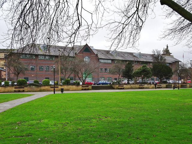
Image: © Bernard Sharp Taken: 5 Jan 2018
The Treasury building was developed by the City Council circa 1989. It replaced the old dock warehouses on the site. Viewed from Queen's Gardens.
Images are licensed for reuse under creativecommons.org/licenses/by-sa/2.0
Image Location
Latitude
53.744712
Longitude
-0.334436