The Middle Braniel Road, Belfast - January 2018(2)
Introduction
The photograph on this page of The Middle Braniel Road, Belfast - January 2018(2) by Albert Bridge as part of the Geograph project.
The Geograph project started in 2005 with the aim of publishing, organising and preserving representative images for every square kilometre of Great Britain, Ireland and the Isle of Man.

There are currently over 7.5m images from over 14,400 individuals and you can help contribute to the project by visiting https://www.geograph.org.uk
The Middle Braniel Road, Belfast - January 2018(2)
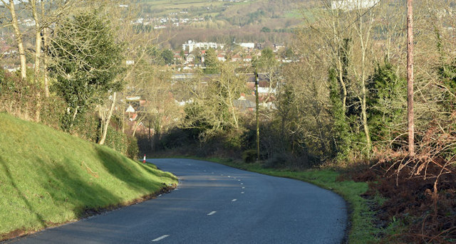
Image: © Albert Bridge Taken: 6 Jan 2018
See Image Further uphill, a bend in the Middle Braniel Road as it drops towards the Lower Braniel Road.
Images are licensed for reuse under creativecommons.org/licenses/by-sa/2.0
Image Location
Latitude
54.57887
Longitude
-5.840832