House near a bend in Downton Road, Stanley Downton
Introduction
The photograph on this page of House near a bend in Downton Road, Stanley Downton by Jaggery as part of the Geograph project.
The Geograph project started in 2005 with the aim of publishing, organising and preserving representative images for every square kilometre of Great Britain, Ireland and the Isle of Man.

There are currently over 7.5m images from over 14,400 individuals and you can help contribute to the project by visiting https://www.geograph.org.uk
House near a bend in Downton Road, Stanley Downton
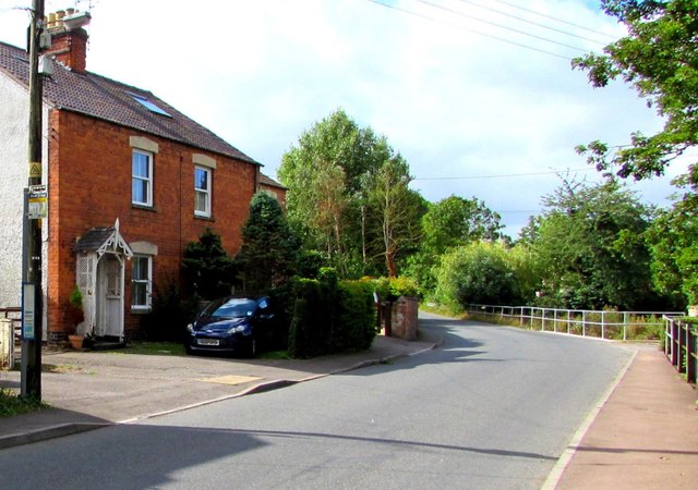
Image: © Jaggery Taken: 7 Aug 2016
Stanley Downton is a small village in Gloucestershire between Leonard Stanley to the south and the town of Stonehouse to the north.
Images are licensed for reuse under creativecommons.org/licenses/by-sa/2.0
Image Location
Latitude
51.737053
Longitude
-2.288567