Tamworth Road canal bridge
Introduction
The photograph on this page of Tamworth Road canal bridge by Alan Murray-Rust as part of the Geograph project.
The Geograph project started in 2005 with the aim of publishing, organising and preserving representative images for every square kilometre of Great Britain, Ireland and the Isle of Man.

There are currently over 7.5m images from over 14,400 individuals and you can help contribute to the project by visiting https://www.geograph.org.uk
Tamworth Road canal bridge
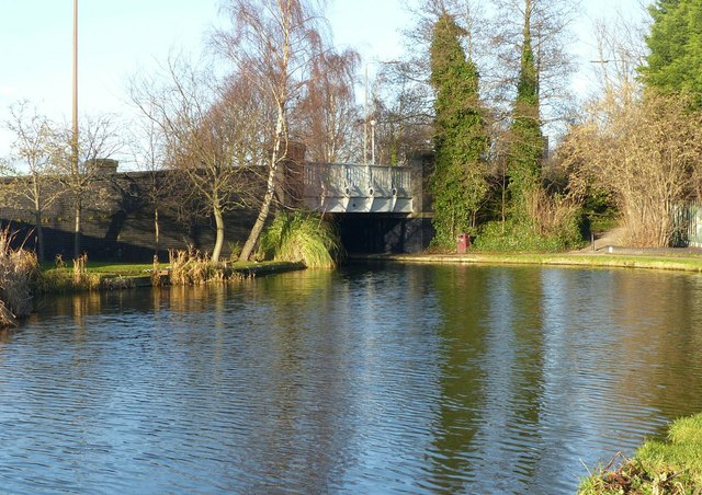
Image: © Alan Murray-Rust Taken: 1 Jan 2018
The canal is widened to allow long boats to take an easy sweep of the bend. The grassed patch to the left of the bridge started life as a coal wharf; how things have changed!
Images are licensed for reuse under creativecommons.org/licenses/by-sa/2.0
Image Location
Latitude
52.889035
Longitude
-1.280617