Beech House, Sandiacre Lock
Introduction
The photograph on this page of Beech House, Sandiacre Lock by Alan Murray-Rust as part of the Geograph project.
The Geograph project started in 2005 with the aim of publishing, organising and preserving representative images for every square kilometre of Great Britain, Ireland and the Isle of Man.

There are currently over 7.5m images from over 14,400 individuals and you can help contribute to the project by visiting https://www.geograph.org.uk
Beech House, Sandiacre Lock
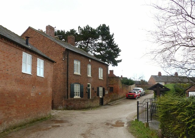
Image: © Alan Murray-Rust Taken: 1 Jan 2018
Late 18th century house, Listed Grade II. The location suggests that the owner could have been linked with the local canals.
Images are licensed for reuse under creativecommons.org/licenses/by-sa/2.0
Image Location
Latitude
52.916928
Longitude
-1.284914