Pathway to Dockholme Lock
Introduction
The photograph on this page of Pathway to Dockholme Lock by Alan Murray-Rust as part of the Geograph project.
The Geograph project started in 2005 with the aim of publishing, organising and preserving representative images for every square kilometre of Great Britain, Ireland and the Isle of Man.

There are currently over 7.5m images from over 14,400 individuals and you can help contribute to the project by visiting https://www.geograph.org.uk
Pathway to Dockholme Lock
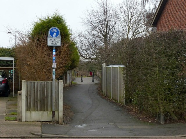
Image: © Alan Murray-Rust Taken: 1 Jan 2018
The Erewash Canal towpath forms part of Sustrans route 67, as indicated by the signs, as well as the Erewash Valley Way and the Nutbrook Trail long distance paths.
Images are licensed for reuse under creativecommons.org/licenses/by-sa/2.0
Image Location
Latitude
52.910717
Longitude
-1.28353