Drive to Ashe Farm and Ashe House
Introduction
The photograph on this page of Drive to Ashe Farm and Ashe House by Nigel Mykura as part of the Geograph project.
The Geograph project started in 2005 with the aim of publishing, organising and preserving representative images for every square kilometre of Great Britain, Ireland and the Isle of Man.

There are currently over 7.5m images from over 14,400 individuals and you can help contribute to the project by visiting https://www.geograph.org.uk
Drive to Ashe Farm and Ashe House
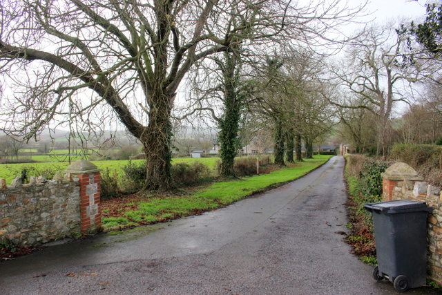
Image: © Nigel Mykura Taken: 2 Jan 2018
Ashe house was originally the home of the Drake Family until it was destroyed in the English Civil War. It was rebuilt about 1652 and remained with the Drake family until the male line died out in 1733. It is a private resdience now.
Images are licensed for reuse under creativecommons.org/licenses/by-sa/2.0
Image Location
Latitude
50.758086
Longitude
-3.025961