Cross Green Warter
Introduction
The photograph on this page of Cross Green Warter by Martin Dawes as part of the Geograph project.
The Geograph project started in 2005 with the aim of publishing, organising and preserving representative images for every square kilometre of Great Britain, Ireland and the Isle of Man.

There are currently over 7.5m images from over 14,400 individuals and you can help contribute to the project by visiting https://www.geograph.org.uk
Cross Green Warter
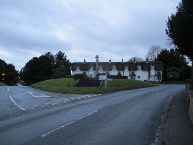
Image: © Martin Dawes Taken: 3 Jan 2018
Across the B1246, the main road through the estate village of Warter, lies the triangular Cross Green now with the war memorial on top. It was the site of the market and annual fair in the early Middle Ages. The minor road going left is called Addlekeld and goes to the village of Nunburnholme
Images are licensed for reuse under creativecommons.org/licenses/by-sa/2.0
Image Location


Leaflet Map data © OpenStreetMap
Latitude
53.94206
Longitude
-0.677156