Goytre House Wood, Penperlleni
Introduction
The photograph on this page of Goytre House Wood, Penperlleni by Jaggery as part of the Geograph project.
The Geograph project started in 2005 with the aim of publishing, organising and preserving representative images for every square kilometre of Great Britain, Ireland and the Isle of Man.

There are currently over 7.5m images from over 14,400 individuals and you can help contribute to the project by visiting https://www.geograph.org.uk
Goytre House Wood, Penperlleni
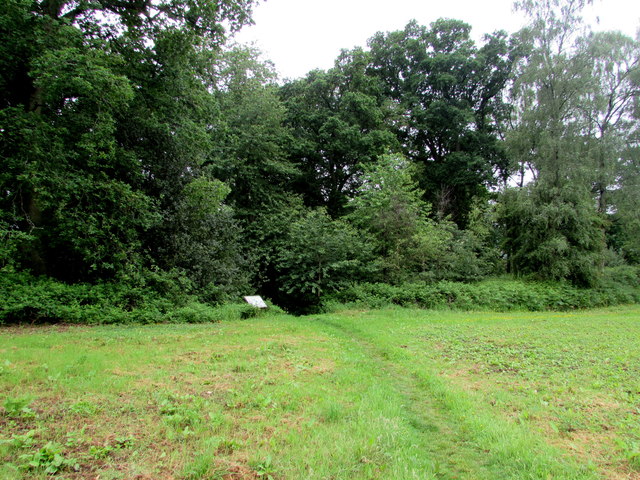
Image: © Jaggery Taken: 12 Jun 2016
The information board at the edge of the wood records that Goytre House Wood is a lowland mixed broadleaved woodland of 4.5 hectares (11 acres) primarily managed by Gwent Ornithological Society to encourage woodland birds. The underlying soil is derived from the Raglan Marl group of the Old Red Sandstone.
Images are licensed for reuse under creativecommons.org/licenses/by-sa/2.0
Image Location
Latitude
51.738543
Longitude
-2.989656