Staines, junction west of station, 2005
Introduction
The photograph on this page of Staines, junction west of station, 2005 by Ben Brooksbank as part of the Geograph project.
The Geograph project started in 2005 with the aim of publishing, organising and preserving representative images for every square kilometre of Great Britain, Ireland and the Isle of Man.

There are currently over 7.5m images from over 14,400 individuals and you can help contribute to the project by visiting https://www.geograph.org.uk
Staines, junction west of station, 2005
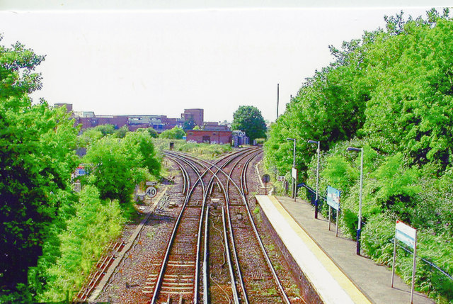
Image: © Ben Brooksbank Taken: 26 Jun 2005
View west from the footbridge: junction of ex-L&SWR lines from Waterloo to Windsor & Eton right; left to Virginia Water (and Weybridge), Ascot (and Aldershot and Farnham), Wokingham and Reading. For electrification dates, seeImage
Images are licensed for reuse under creativecommons.org/licenses/by-sa/2.0
Image Location
Latitude
51.432501
Longitude
-0.504026