Former A82 road, Crianlarich
Introduction
The photograph on this page of Former A82 road, Crianlarich by Thomas Nugent as part of the Geograph project.
The Geograph project started in 2005 with the aim of publishing, organising and preserving representative images for every square kilometre of Great Britain, Ireland and the Isle of Man.

There are currently over 7.5m images from over 14,400 individuals and you can help contribute to the project by visiting https://www.geograph.org.uk
Former A82 road, Crianlarich
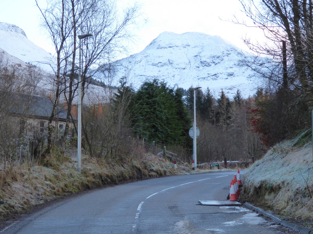
Image: © Thomas Nugent Taken: 27 Dec 2017
Looking up the hill towards the railway station. This was the main road until December 2014, at which time a bypass was opened.
Images are licensed for reuse under creativecommons.org/licenses/by-sa/2.0
Image Location
Latitude
56.391545
Longitude
-4.618831