Byway to Marton Hole
Introduction
The photograph on this page of Byway to Marton Hole by Stephen Craven as part of the Geograph project.
The Geograph project started in 2005 with the aim of publishing, organising and preserving representative images for every square kilometre of Great Britain, Ireland and the Isle of Man.

There are currently over 7.5m images from over 14,400 individuals and you can help contribute to the project by visiting https://www.geograph.org.uk
Byway to Marton Hole
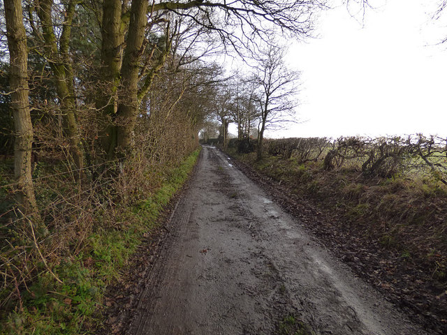
Image: © Stephen Craven Taken: 28 Dec 2017
The byway starts near Totties Hall and ends, oddly, at the small flash known as Marton Hole. It is seen here during a hail shower.
Images are licensed for reuse under creativecommons.org/licenses/by-sa/2.0
Image Location
Latitude
53.209308
Longitude
-2.590793