Cheshire mud
Introduction
The photograph on this page of Cheshire mud by Stephen Craven as part of the Geograph project.
The Geograph project started in 2005 with the aim of publishing, organising and preserving representative images for every square kilometre of Great Britain, Ireland and the Isle of Man.

There are currently over 7.5m images from over 14,400 individuals and you can help contribute to the project by visiting https://www.geograph.org.uk
Cheshire mud
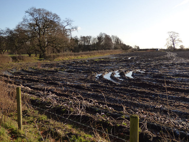
Image: © Stephen Craven Taken: 28 Dec 2017
A ploughed field just south of the Whitegate Way. This is why in winter I prefer walking the old railway trails or canal towpaths of Cheshire rather than take paths across farmland.
Images are licensed for reuse under creativecommons.org/licenses/by-sa/2.0
Image Location
Latitude
53.204655
Longitude
-2.567973