Bookers Reed
Introduction
The photograph on this page of Bookers Reed by Simon Carey as part of the Geograph project.
The Geograph project started in 2005 with the aim of publishing, organising and preserving representative images for every square kilometre of Great Britain, Ireland and the Isle of Man.

There are currently over 7.5m images from over 14,400 individuals and you can help contribute to the project by visiting https://www.geograph.org.uk
Bookers Reed
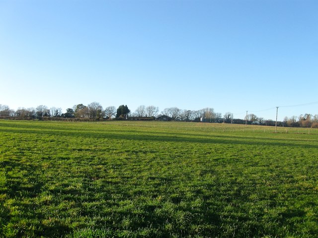
Image: © Simon Carey Taken: 28 Dec 2017
The name of the field according to Bury's 1839 tithe map that is bounded by Image to the north and Image to the east. The name reed usually means an area cleared of woodland and synonymous with the modern words rid, ridden, riddance.
Images are licensed for reuse under creativecommons.org/licenses/by-sa/2.0
Image Location
Latitude
50.919334
Longitude
-0.572043