#40 Ridley Road
Introduction
The photograph on this page of #40 Ridley Road by Roger Templeman as part of the Geograph project.
The Geograph project started in 2005 with the aim of publishing, organising and preserving representative images for every square kilometre of Great Britain, Ireland and the Isle of Man.

There are currently over 7.5m images from over 14,400 individuals and you can help contribute to the project by visiting https://www.geograph.org.uk
#40 Ridley Road
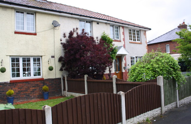
Image: © Roger Templeman Taken: 20 May 2017
The house has been extended on its east face obliterating an Ordnance Survey benchmark described as 'CUT MARK NO40 RIDLEY RD E FACE SE ANG 35.646m above Newlyn Datum'
Images are licensed for reuse under creativecommons.org/licenses/by-sa/2.0
Image Location
Latitude
54.878012
Longitude
-2.928847