Moonzie burn and fields
Introduction
The photograph on this page of Moonzie burn and fields by Jim Bain as part of the Geograph project.
The Geograph project started in 2005 with the aim of publishing, organising and preserving representative images for every square kilometre of Great Britain, Ireland and the Isle of Man.

There are currently over 7.5m images from over 14,400 individuals and you can help contribute to the project by visiting https://www.geograph.org.uk
Moonzie burn and fields
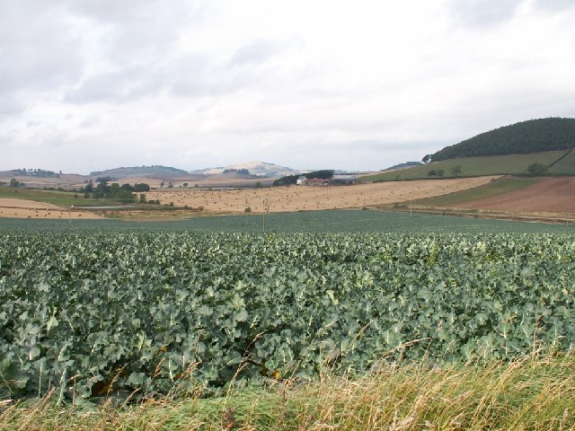
Image: © Jim Bain Taken: 21 Sep 2005
A view more or less across the square from SE to NW. The low ground is occupied by the Moonzie Burn flowing from left to right in this view. Prime farmland dominates this area and a cash crop is in the foreground. The buildings at the far side belong to Myrecairnie farm which is part in this square.
Images are licensed for reuse under creativecommons.org/licenses/by-sa/2.0
Image Location


Leaflet Map data © OpenStreetMap
Latitude
56.345678
Longitude
-3.015985