Walking the canal towpath below Cape Bottom Lock, north Warwick
Introduction
The photograph on this page of Walking the canal towpath below Cape Bottom Lock, north Warwick by Robin Stott as part of the Geograph project.
The Geograph project started in 2005 with the aim of publishing, organising and preserving representative images for every square kilometre of Great Britain, Ireland and the Isle of Man.

There are currently over 7.5m images from over 14,400 individuals and you can help contribute to the project by visiting https://www.geograph.org.uk
Walking the canal towpath below Cape Bottom Lock, north Warwick
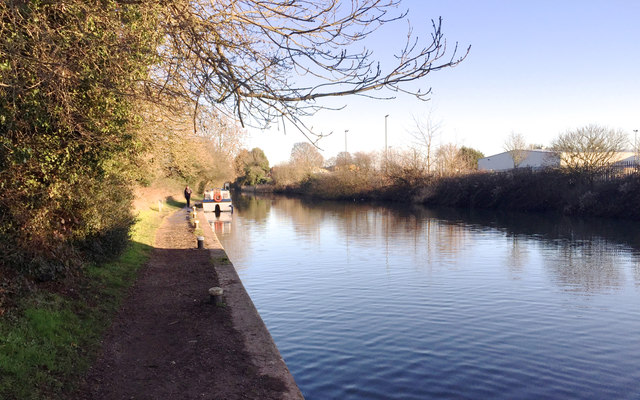
Image: © Robin Stott Taken: 2 Jan 2017
On the right is part of the industrial estate north of Millers Road (Ladbroke Park on the A-Z). Behind the camera is the footbridge between Lock Lane and the Woodloes estate Image It was the sunny New Year's Day public holiday, 2 January, New Year's Day having fallen on a Sunday.
Images are licensed for reuse under creativecommons.org/licenses/by-sa/2.0
Image Location
Latitude
52.292413
Longitude
-1.59089